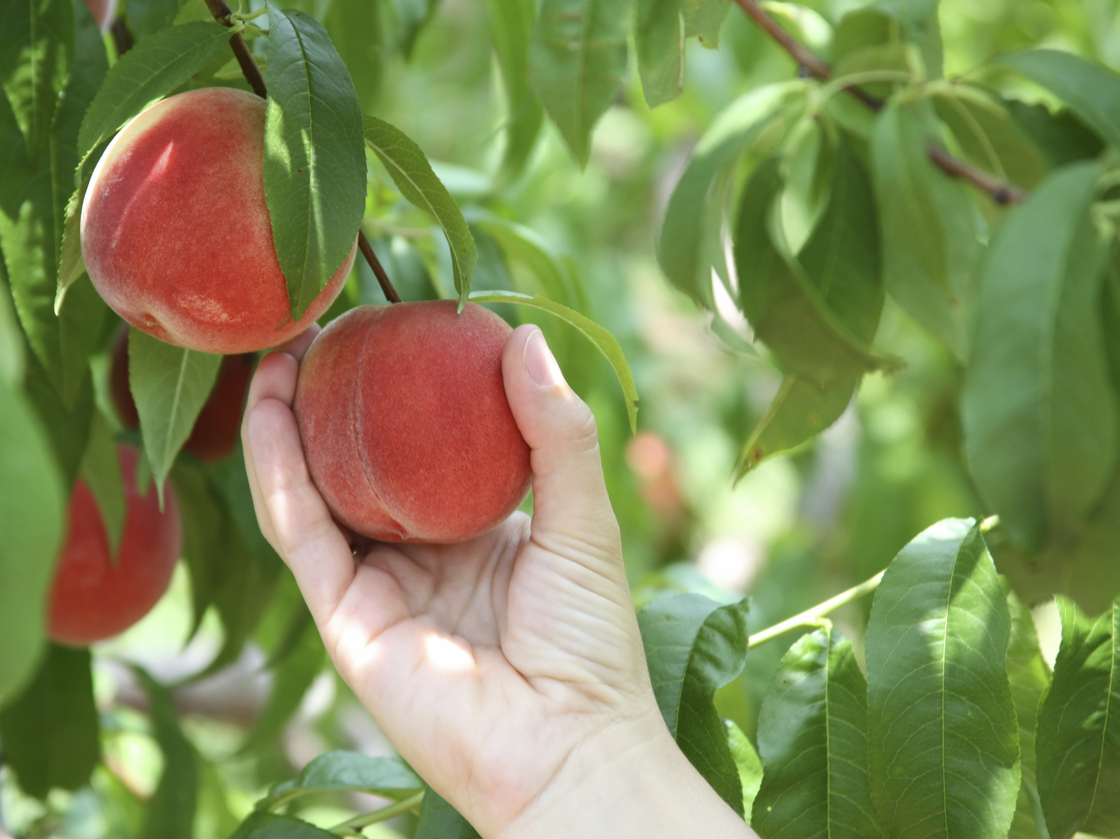
Falling Fruit (Google Map) tells you where you can pick peaches and other foods free for the taking around the world.
The map looks like a typical Google map. Foraging locations are pinned with dots. Zoom in and click on one, and up pops a box with a description of what tree or bush you can find there. The description often includes information on the best season to pluck the produce, the quality and yield of the plant, a link to the species profile on the U.S. Department of Agriculture's website, and any additional advice on accessing the spot.
"I'm a data geek," Welty says. "I feel like there is power in getting everything onto one map. A map is like a very narrow lens on the world, but I think it's very powerful because of how narrow it is."
Clearly, with dozens of countries boasting thousands of foraging destinations, it's practically impossible for Welty and Philips to verify all of the spots. Welty says they have to rely on the honesty of the contributors when it comes to listing trees in potentially off-limits locations, like private properties or fenced-in parks. In many of those cases, the entry contributors tell potential foragers to ask the property owners for permission. The map has more than 6,700 crowd sourced entries so far.
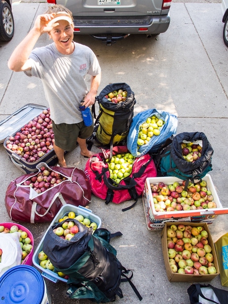
Jeff Wanner stands among the 500 pounds of
apples he picked from neighborhood trees in a couple of hours with
Falling Fruit co-founder Ethan Welty in Boulder, Colo., last fall.
"If I can apply my skills to help people realize that there is a fruit tree down the street that they can pick, then that's just a simple thing I can do to reconnect people with how food works and get them away from the notion that food is only in a grocery store," he says.
Now, the map doesn't limit its entries to fruits and veggies. Welty says it also lists beehives, public water wells, and even dumpsters with excess food waste.
"There is someone who posted a squirrel with a recipe for him," he says. "Gray squirrel is an invasive species. He's encouraging people to hunt for squirrels, so hey, why not?"
Welty says he hopes the map and its stable of contributors will keep growing — so much so that it ends up influencing cities' land use and management plans.
"The big goal, in a way," he says, "is to make people realize that there is potential [for foraging in cities] and deliberately create food forests, like the and others around the country — to rethink what a city should look like."
Postscript, April 24: If you spot a problem with one of the entries in the map, please let Welty and Philips know — send an email to: info[at].


2 comments:
That's a fun site, too bad there aren't any around Rexburg. =/
As long as no one tells where my favorite blueberry spot is... :-)
Post a Comment